From the Geography Department
Week commencing 5 October 2015
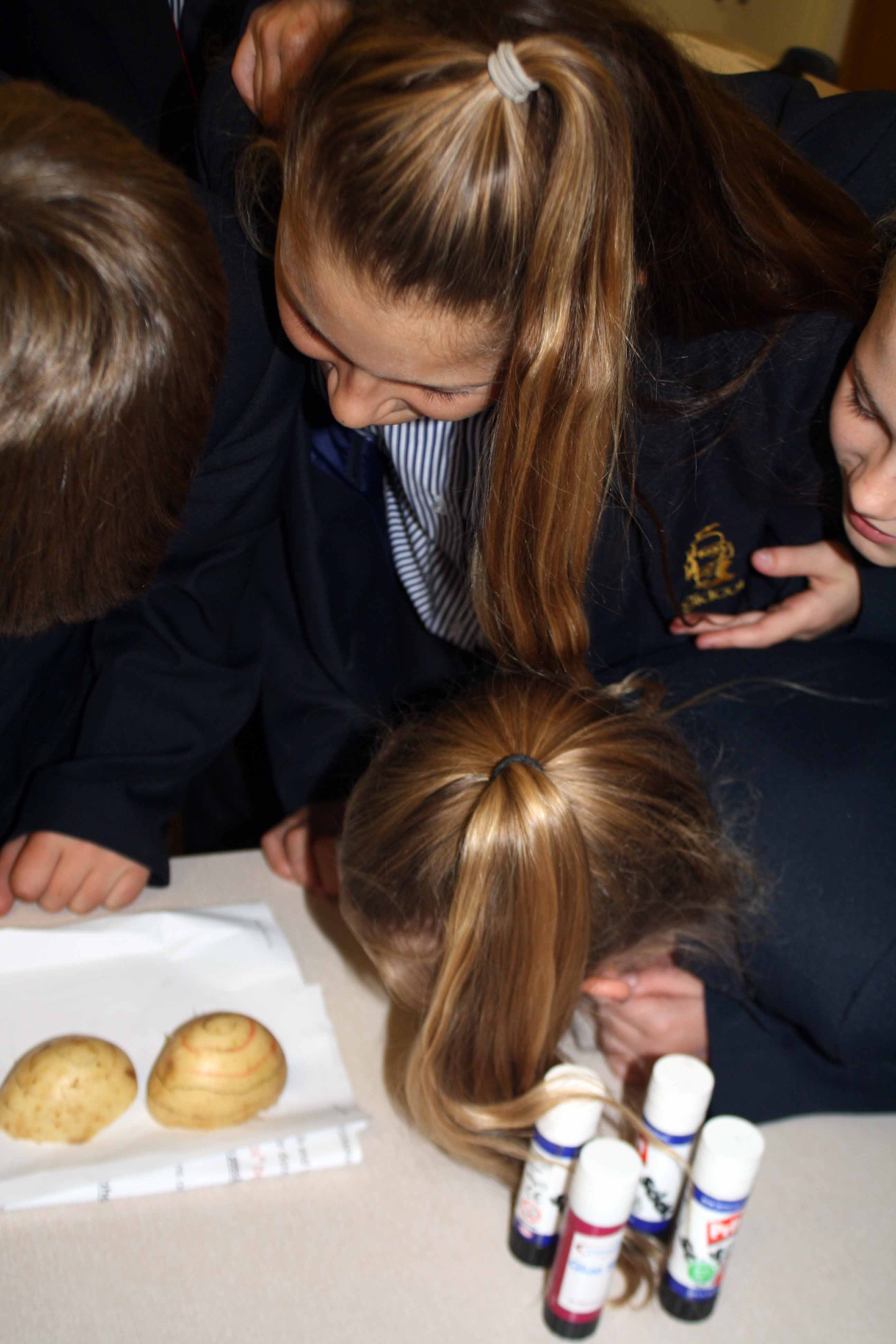
Year 7 have been improving their map skills this week using a pen and a potato. The potato represents a hill and the lines drawn on the potato show why maps have contour lines. It is a challenge for students to understand how a 3D image can be portrayed as 2D on an Ordnance Survey (OS) map. But once they looked at the potatoes from above, the students began to fully understand why maps have contour lines.
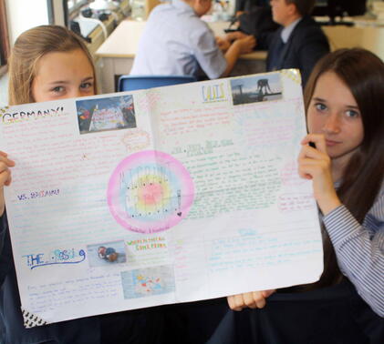
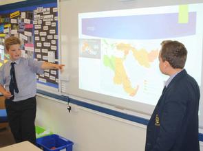
Year 8 have been presenting their projects on the recent migrant crisis. It was a pleasure to see these presentations turn into a class debate on the issue. Two students gave a performance, one did a class quiz, others made posters and PowerPoint presentations. The students showed that they had good independent study skills and a keen interest in current world events.
Matthew Curtis-Dyke
Head of Geography Department


